Short title: landform
Inputs: Digital Elevation Model, classification parameters.
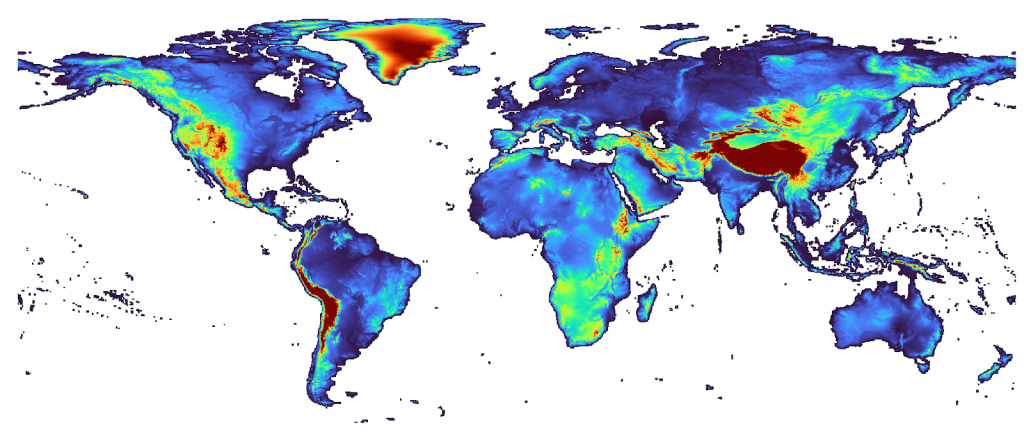
Outputs: Map showing landform classes according to Pennock and Corre (2001).
Purpose and use:
Landform Classification based on method of Pennock and Corre (2001). Classify landform units based on relief parameters provided using the topo.aml. Original Source are papers by Pennock et al., Rewritten in aml as closely as possible. Requirements: topo.aml, killgrids.aml, logoff.aml
Programming environment: Arc AML
Status of work: Public Domain
Reference: Geomorphometry: Concepts, Software, Applications
![]()