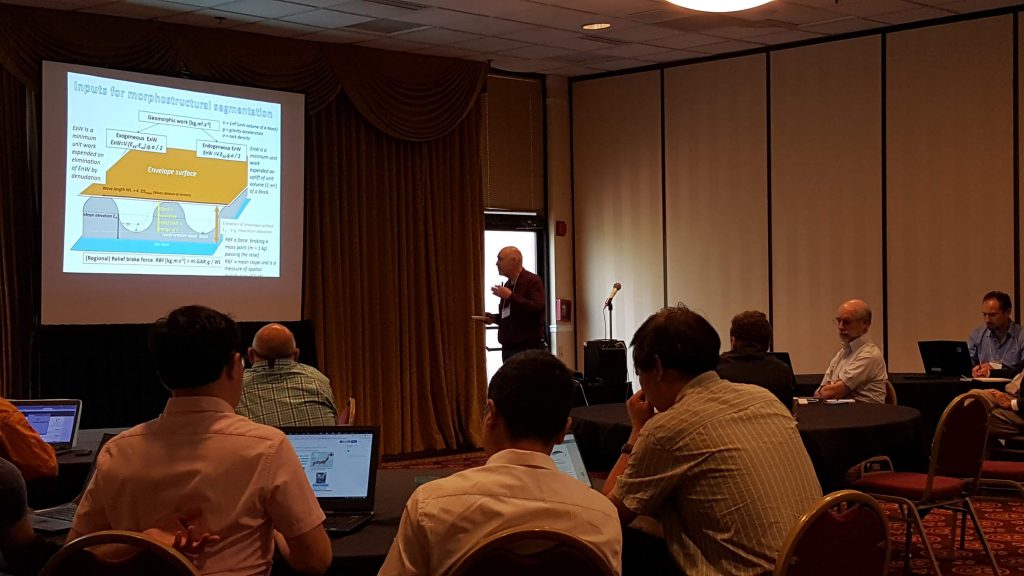
What is geomorphometry?
Geomorphometry is the science of quantitative land-surface analysis (also known as the science of DIGITAL TERRAIN MODELLING AND ANALYSIS). It draws upon mathematical, statistical, and image-processing techniques to quantify the shape of earth’s topography at various spatial scales. The focus of geomorphometry is calculation of surface-form measures (land-surface parameters) and features (objects), which may be used to improve the mapping and modelling of landforms, soils, vegetation, land use, natural hazards, and other information. With today’s rapid growth in sources for mass-produced surface heights (digital elevation models, or DEMs), such as the Shuttle Radar Topographic Mission and laser ranging (LiDAR) technology, geomorphometric methods are becoming increasingly attractive to many disciplines. The operational focus of geomorphometry is the extraction of land-surface parameters and objects from digital elevation models (DEMs). In the most simple terms, geomorphometry is everything you can extract from DEMs! [discuss geomorphometry]
What is geomorphometry.org?
GEOMORPHOMETRY.ORG is a non-commercial, nongovernmental association of researchers and experts that are open for free exchange of knowledge and opinions about various aspects of DEM processing. Everybody that is registered (see the world map of users) can participate in the geomorphometry.org activities and express his/her opinion. Commercial companies and organizations are also invited to upload important information, sample scripts and shareware packages that can then be tested by our research group. Geomorphometry.org is financed through conference fees of the geomorphometry meetings. Participants of the geomorphometry meetings are automatically registered in the system as active users, which also means that they have access to internal web-pages and have an exclusive right to vote on the important issues.
The specific objectives of the Geomorphometry society are:
- To improve understanding of the properties of the land surface, as analysed quantitatively from Digital Elevation Models and from digital or paper maps;
- To advance the techniques used in land surface (terrain) analysis;
- To foster international collaboration in the quantitative analysis of the land surface;
- To run a web site (geomorphometry.org) to facilitate communication between scientists and students, advertise relevant conferences and make available public-domain data sets and scientific papers;
Why geomorphometry.org?
The purpose of this website is:
- To initiate open discussion among DEM users and GIS analysts that actively run geomorphometric analysis.
- To support geomorphometry.org activities, including meetings, workshops and conferences;
- To support the exchange of scripts and similar software that is intended for academic/research activities;
- To provide a repository of important documents and files (scripts, articles, datasets, maps);
- To serve as a scientific reference for the field of geomorphometry;
- To promote international conferences on geomorphometry and digital terrain analysis, initially every two years;
The website is completely designed to support interactive exchange of information. The registered users can upload and rate articles, scripts and maps; load announcements of events and new open positions and edit their personal profiles. If you experience problems with uploading your materials or with logging in, you should contact the web-administrator. Note that, if your problem is due to an error in code or problems with the server, it might take even few days until we solve it. This website is maintained on voluntary basis. See also the official disclaimer.